Abstract
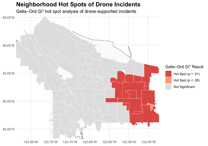
Police agencies have increasingly adopted uncrewed aerial systems, or drones, to enhance officer safety, situational awareness, and operational efficiency. Despite the proliferation of drone programs, empirical research examining their use remains limited. Little is known about deployment strategies, spatial patterning, and operational integration alongside standard patrol responses. This study evaluates police drone deployments in Portland, Oregon, from June 2023 to August 2025. The administrative dataset includes 1,077 deployments across 725 unique incidents. The analysis examines (1) deployments across incident types, priority levels, and multi-drone responses, (2) spatial concentrations at the neighborhood level, and (3) integration with ground patrol through dispatch and call-for-service linkages. Results indicate that drone deployments vary across incident priorities, are significantly spatially clustered, and exhibit nonuniform linkages to ground patrol responses. These descriptive findings provide an empirical baseline for agencies developing drone programs and highlight the need for clearer deployment policies.